Dunkeld Walks
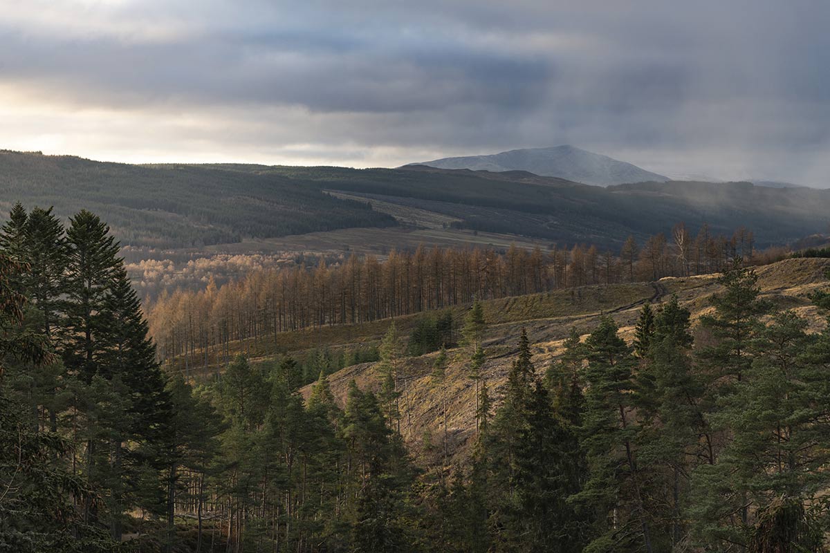
Nestled in the verdant heart of Perthshire, Dunkeld stands as a testament to the sublime beauty of Scotland’s landscapes. A historic town hugged by the silvery River Tay, it serves as a gateway to a world where nature has generously poured out its charms. The surrounding woodland, craggy hills, and gentle meadows beckon walkers of all abilities.
Whether you’re wandering beneath the cathedral-like canopy of the ancient Birnam Wood or scaling the heights to catch panoramic views from a hilltop, every step in Dunkeld promises an intimate encounter with Scotland’s wild heart. Join me as we traverse the myriad trails of “Dunkeld Walks” and uncover the magic that lies in every corner of this Scottish gem.
Hermitage and Fiddler’s Path (Dunkeld)
There are a range of really excellent Dunkeld Walks that offer some of the most beautiful and varied landscapes in Scotland. One of these is the Hermitage and Fiddler’s Path, one of the most popular Dunkeld walks, which takes you on a journey through the mesmerising woodland of the Dunkeld House Hotel estate.
Overview:
- Distance: 7.5-8 miles (12 km) round trip
- Difficulty: Easy to moderate
- Time: 2-3 hours
- Terrain: Mostly flat with some gentle hills, well-maintained paths, and a mix of forest and open countryside
Steps:
- Beginning the Adventure: From the Craigvinean car park, head eastwards on an unsurfaced path, which also serves as a mountain bike trail, leading steeply downhill. As you approach the river, ignore any waymarked routes you might encounter from the car park.
- Riverside Walk: Upon reaching the riverside path, take a right. This leads to a serene walk along the River Braan, adorned with cascading waterfalls. If you’re starting at the Hermitage, simply follow this river path, which will take you under the railway.
- Ossian’s Hall: The first significant landmark is Ossian’s Hall, also known as the Hall of Mirrors. Spend some moments here, appreciating the views from within the hall and the structure itself which is perched above the river.
- Ossian’s Cave: Continuing along the river, after about 500m, you’ll find Ossian’s Cave. Look out for a black waymarker pointing towards this “enhanced natural feature”.
- Into the Forest: From the cave, divert from the river and head northeast, eventually turning north to join a forest track. Roughly 300m ahead, you’ll spot a signpost for Pine Cone Point. Before heading up the hill, consider a brief detour to your right, following yellow waymarkers, leading to the Torryvald folly.
- Reaching Pine Cone Point: Head back to the signpost and follow its direction up a steep zigzag path. Eventually, you’ll reach a forest track. Taking a right here, you will soon arrive at Pine Cone Point. This area provides an impressive vantage point and features a unique pine cone-shaped wooden shelter.
- The Forest Path: Departing from the shelter, a north-westward unsurfaced path awaits. It’s uneven but navigable, and after roughly 900m, it rejoins the main forest track network.
- Heading Downhill: A straightforward walk of slightly more than 1 km on this track will bring you to a junction. Turn right here, beginning your descent. After about 1.1km, ensure you ignore a grass track on your left. As you continue, the track will start zigzagging downhill. Follow the signposts for Dunkeld which will lead you out of the forest and to a small car park.
- Towards the Tay: Cross over the adjacent quiet road and enter another path. This path will guide you through a tunnel, taking you beneath the railway and the A9 road bridge, ultimately leading to the banks of the Tay.
- Fiddler’s Path and Niel Gow’s Oak: The next 3 km of your journey is along the Fiddler’s Path by the Tay river. Here, you’ll pass by Niel Gow’s Oak, a significant landmark where the legendary fiddler is said to have played and composed his music.
- Concluding the Walk: Beyond the oak, the path continues, hugging the Tay, until you reach the mouth of the Braan at Dunkeld. Here, the path veers inland along the Braan, passing beneath the A9, and ultimately leading to the village of Inver. Walk through this village, following the Inver Path signs. This path, nestled between the main road and the river, will take you to the Hermitage car park entrance. If returning to the Craigvinean Forest car park, you can opt for the forest track (suitable for vehicles) or pass through the car park, go under the railway, and walk alongside the river until you find the mountain bike trail leading back up to the starting point.
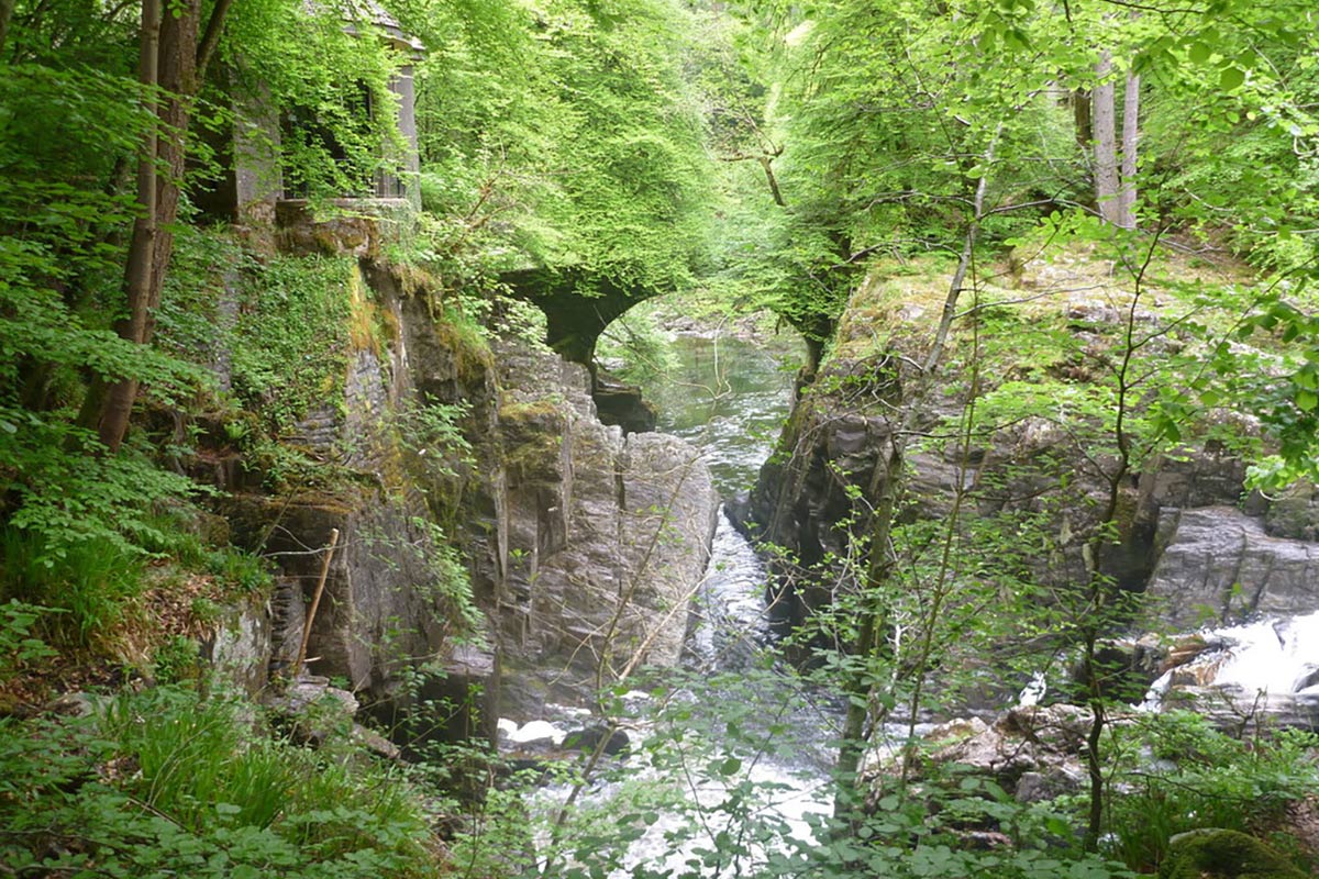
Ossian's Hall and Hermitage Bridge, River Braan, Near Dunkeld
© Copyright Richard West (https://www.geograph.org.uk/profile/46914 )under CC BY-SA 2.0. Link: https://www.geograph.org.uk/photo/4967617
Atholl Woods Path
Just a stone’s throw from the vibrant River Tay, the Atholl Woods Path is another excellent Dunkeld walk awaiting exploration. This route is positioned near Pitlochry in the expansive Perthshire big tree country and promises natural splendour.
Overview:
- Distance: 6.5 miles (11 km) round trip
- Difficulty: Easy to moderate
- Time: 2.5-3.5 hours
- Terrain: Primarily flat with occasional gentle climbs, pristine paths, blending forest tracks and open vistas
Steps:
- Starting Point: Begin your journey from the Cally Car Park, which is a short drive from Dunkeld. Venture north from the village and make a right at the T junction onto the A923 Blairgowrie road. Your destination, marked by the second left, guides you to the starting line of the Atholl Woods Path.
- Heading into Atholl Woods: Start your journey heading towards the entrance track. Follow signs pointing towards Atholl Woods Path – Mill Dam. The track leads you upwards, guiding you through a crossroads, with markers indicating the direction towards Mill Dam and Upper Hatton.
- Through the Forestry (3a) and Towards The Glack (3b): As the path divides, choose the track leading right, directing you towards The Glack and Upper Hatton. An expanse of recently cleared forest stretches on your right. Further ahead, you’ll cross a stone bridge. Pay heed to the markers, steering clear of the path leading to Birkenburn and making your way through a gate to The Glack. If your journey coincides with summertime, cherry trees lining the path may treat you with a delightful snack.
- Beside Mill Dam: A serene setting awaits as you approach Mill Dam’s waters. The western side offers a tranquil walk, allowing you to admire the wildfowl that call the water home. Venturing further, another junction emerges. Be sure to follow the Atholl Woods Path sign, leading left.
- Deep Within the Woods: Gates and yellow arrows guide your path as you delve deeper into the forestry plantation. Trust in the waymarkers, they’ll steer you through a stile, and soon, you’ll find yourself at a vantage point with the Tay below.
- Polney Loch and the Descent: A diversion beckons, with signs guiding you towards Polney Loch. Surrounded by mature beech trees, the descent through the woods ultimately leads to a historic part of General Wade’s military road. As you follow this path, Polney Loch unveils itself, a sanctuary for moorhens, ducks, and herons.
- The Journey Home: The final stretch immerses you into woodlands once more, navigating you past Polney Sawmill and finally, returning you to your starting point at the Cally Car Park.
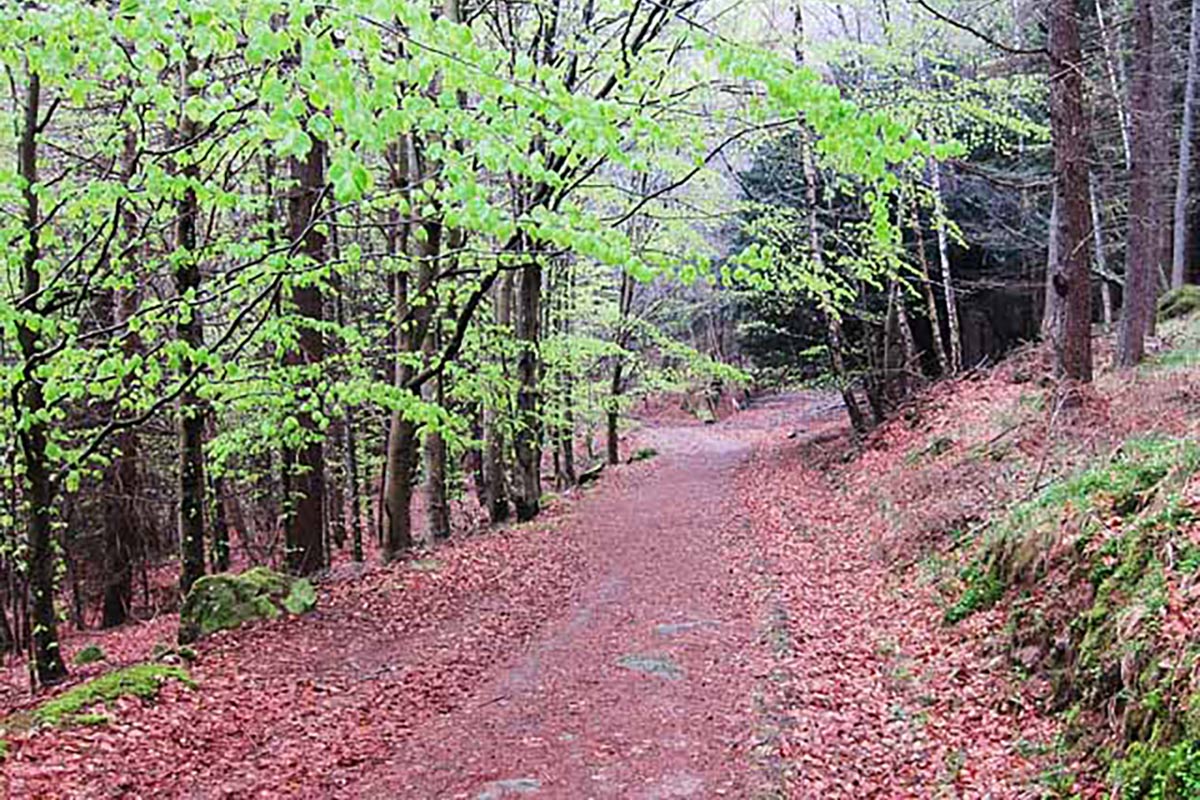
Atholl Woods Path in Spring
© Copyright Lis Burke (https://www.geograph.org.uk/profile/829) under CC BY-SA 2.0. Link: https://www.geograph.org.uk/photo/2375273
Dunkeld Path Network
The Dunkeld path network, encompassing various Dunkeld walks like the Birnam Riverside Path, is a testament to the region’s commitment to nature.
With various routes available, from short walks past Dunkeld Cathedral to extensive hikes and cycle rides, there’s something for everyone.
Several popular routes are a part of this Dunkeld walks network, including the Dunkeld to Pitlochry Cycle Path and the Birnam Oak Trail. The Dunkeld Paths Group maintains these trails, ensuring their accessibility and signposting.
Furthermore, Dunkeld walk routes such as the Birnam Hill Path promise incredible vistas from Perthshire to distant horizons. Starting at the Birnam Oak car park, this 3-mile Dunkeld walk ascends steep terrains but rewards walkers with panoramic views.
Another lovely Dunkeld walk is the Loch of the Lowes Path. This route between Dunkeld and Aberfeldy is a perfect gentle climb. You’ll pass through a mix of woodland and open lands and may even spot ospreys fishing in the lake.
Finally, Dunkeld’s Slow Ways presents an alternative for those looking for an extended adventure. This network, part of a UK initiative, connects Dunkeld to neighbouring areas, promoting walking as a sustainable mode of transport. Routes such as the Dunkeld to Blairgowrie Slow Way provide diverse landscapes, from dense forests to magnificent highland moors.
Birnam Hill Path
The Birnam Hill Path is a popular walking route near the Birnam village in Perthshire, Scotland. Here’s an overview and some steps to help guide you:
Overview:
- Distance: 4 miles (6 km) round trip
- Difficulty: Moderate
- Time: 2-3 hours
- Terrain: Steep and rocky in places, well-maintained paths, and a mixture of woodland and open countryside
Steps:
- Starting Point: Layby at the old Birnam Quarry just off the A9 on the B867.
- Setting Out: From the layby at the old Birnam Quarry, pass under the railway. A short distance ahead, you’ll encounter a signed turn on your left. Follow this path, as it starts to gently ascend through mixed woodlands, offering glimpses of the railway line below.
- Diverging Routes and Stair Bridge: When you reach a signed junction, keep straight, leaving the ‘Pass of Birnam’ path to your left. Further on, another junction gives you the chance for a quick detour. To your left is the Stair Bridge, a 19th-century ornamental bridge. Although somewhat worn, it offers a grand viewpoint that stretches out towards Perth.
- Moorland Crossing: Heading back to the main path, your journey now moves across open heather moorland. Keep an eye to the skies, as this area is frequented by various birds of prey. As you traverse, the path contours around a knoll and later rises across the flank of Birnam Hill.
- Reaching the Peak – King’s Seat: A series of markers guide you up a short-cut, eventually rejoining the main path which leads to the summit. Upon reaching the top, you’ll find a large cairn known as the King’s Seat. From here, the panoramic views are unmatched, making the climb well worth the effort.
- Descent with a View: Initiate your descent, taking care on the steep and rocky initial stretch. The path transitions across a boggy section and then returns to woodland. As you navigate this descent, be sure to visit an adjacent rocky outcrop. This vantage point offers a sweeping view over Dunkeld, Birnam, and towards the Loch of the Lowes.
- Journey Back to the Base: As the gradient becomes steeper among the trees, intermittent views break through the foliage. An inviting bench presents itself along the way, perfect for a restful pause. Nearing the hill’s base, a junction beckons you right, guiding you along a tarmac driveway from a nearby house.
- Villas, Woods, and End of the Trail: The final stretch takes you between stately old villas and houses. A footpath through woods is your guide, and upon reaching another signed junction, proceed straight to finish your journey. A familiar track emerges, signaling your return to the starting point, back under the railway and to the layby where you began.
The climb up Birnam Hill can be challenging, but the stunning views from the top are well worth the effort.
Loch of the Lowes Path
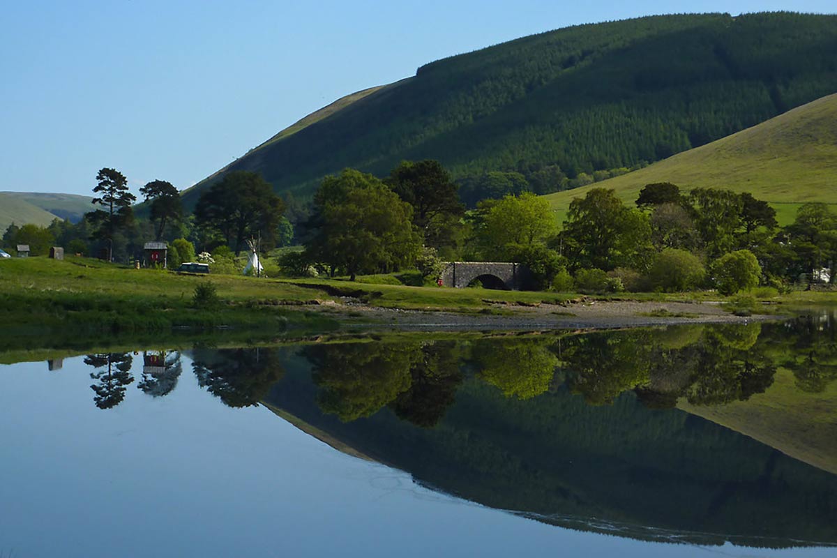
Loch of the Lowes
© Copyright Eileen Henderson (https://www.geograph.org.uk/profile/5069) under CC BY-SA 2.0. Link: https://www.geograph.org.uk/photo/2445340
The Loch of the Lowes Path is a popular walking route that circles the Loch of the Lowes, a freshwater loch located in the heart of Scotland. It’s a popular destination for birdwatchers, and the ospreys that nest in the area are a particular highlight.
Overview:
- Distance: 3.5 miles (5.6 km) round trip
- Difficulty: Easy
- Time: 1-2 hours
- Terrain: Mostly flat with some gentle slopes, well-maintained paths, and a mixture of woodland and open countryside
Steps:
- Setting Out: Begin your journey at the Cally Car park, which lies a short kilometer from the village of Dunkeld. After setting out, you’ll find yourself on a lane that delves straight into the embrace of a forest. As you wander deeper, the path will guide you through the thick of beechwoods until you encounter the road once again.
- The Golf Club Route: Venturing across the road, the path descends towards a footbridge, leading you up a lane to the golf clubhouse. As you navigate through the car park, signs for ‘Loch of Lowes’ direct you across the grass, through a wooden gate, and into a scenic wooded track. Before you know it, this path merges with a higher old track offering expansive views.
- Lochside Detour: Your curiosity will be rewarded if you follow the lane ahead, leading you closer to Loch of Lowes. Skirting its edge, you’ll be tantalized by the glimmering glimpses of the loch through the trees. If you’re keen on birdwatching, the Scottish Wildlife Trust reserve by the loch is a haven. Here, from April to August, ospreys showcase their majestic presence, best viewed through the reserve’s telescopes and CCTV.
- Heading Back to Dunkeld: Returning to the earlier mentioned track, you’ll take a left turn and be treated to a sea of bluebells if visiting in early summer. The path eventually joins another track on the left, guiding you downhill towards the charming town of Dunkeld. The spires of Dunkeld Cathedral in the distance serve as a beacon.
- The Final Stretch: Meandering through Dunkeld’s main street, continue northward. You’ll pass the regal gateway of the Dunkeld House hotel, and as you move towards Blairgowrie, look out for the second left by a quaint cottage. This lane, leading you back to the Cally car park, marks the culmination of your Loch of the Lowes expedition.
Dunkeld’s Slow Ways
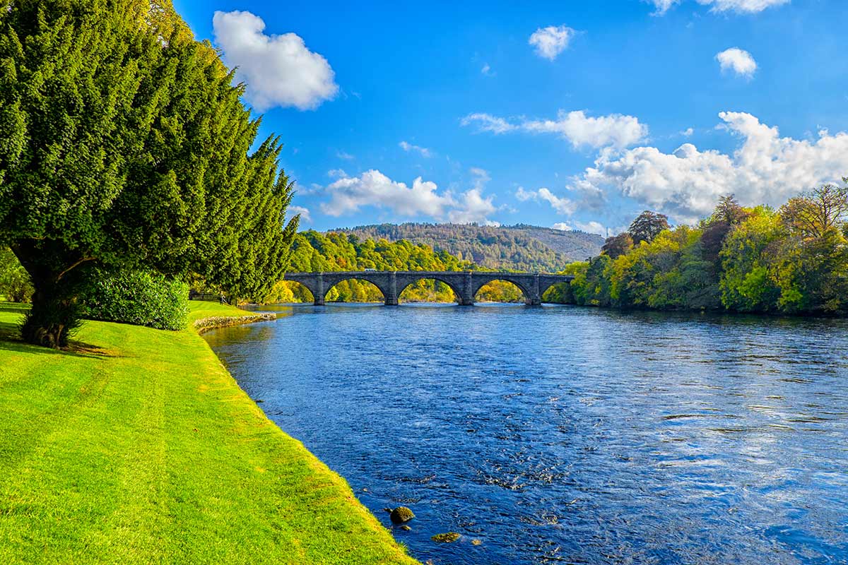
Dunkeld’s Slow Ways is a network of walking routes that connects the town of Dunkeld in Scotland to surrounding communities and landmarks. The network is part of the Slow Ways project, a UK-wide initiative to create a national network of walking routes connecting villages, towns, and cities.
The Dunkeld’s Slow Ways network includes a variety of walking routes, ranging from short strolls to longer hikes. These routes are designed to showcase the area’s natural beauty and cultural heritage and provide residents and visitors with an alternative mode of transportation that is both healthy and environmentally friendly.
The Dunkeld’s Slow Ways network routes were developed in collaboration with local communities and stakeholders, and they have been designed to be accessible to walkers of all abilities. The project aims to encourage more people to explore the local area on foot and to promote the benefits of walking for health and wellbeing.
In Dunkeld, there are five designated Slow Ways routes. Here’s an overview and step-by-step guide for each:
The Dunkeld to Birnam Slow Way:
This short and easy walk connects the villages of Dunkeld and Birnam. The route follows the River Tay and passes through a mixture of woodland and open countryside. The total distance is around 1.5 miles (2.4 km), and the walk should take about 30 minutes to complete.
Steps:
- Start at the Dunkeld Cathedral in the centre of Dunkeld.
- Cross the River via the Dunkeld Bridge and follow the path along the riverbank.
- Continue along the path until you reach the Birnam Oak, a 500-year-old tree that is said to have inspired Shakespeare’s Macbeth.
- Cross the bridge over the River and return to Dunkeld via the same path.
The Dunkeld to Blairgowrie Slow Way:
This is a longer and more challenging walk that connects the town of Dunkeld to the town of Blairgowrie. The route passes through various landscapes, including farmland, woodland, and moorland. The total distance is around 12 miles (19.3 km), and the walk should take about 5 hours to complete.
Steps:
- Start at the Dunkeld Cathedral in the centre of Dunkeld.
- Follow the signposted route along the River and through the fields to the village of Caputh.
- Continue along the road to the town of Blairgowrie, passing through woodland and moorland along the way.
- Once in Blairgowrie, take some time to explore the town before returning to Dunkeld via the same route.
The Birnam to Rumbling Bridge Slow Way:
This moderate walk connects the village of Birnam to the Rumbling Bridge, passing through woodland and along the River Braan. The total distance is around 5 miles (8 km), and the walk should take about 2 hours to complete.
Steps:
- Start at the Birnam Oak in the village of Birnam.
- Follow the signposted route through the woods and along the River Braan.
- Continue along the path until you reach the Rumbling Bridge, a narrow gorge with a waterfall and a bridge that spans the gap.
- Cross the bridge and return to Birnam via the same path.
The Dunkeld to Aberfeldy Slow Way:
This longer and more challenging walk connects the town of Dunkeld to the town of Aberfeldy. The route passes through farmland, woodland, and along the River Tay. The total distance is around 20 miles (32.2 km) and the walk should take about 8 hours to complete.
Steps:
- Start at the Dunkeld Cathedral in the centre of Dunkeld.
- Follow the signposted route along the River and through the fields to the village of Caputh.
- Continue along the road to the village of Meikleour, passing through woodland and farmland along the way.
- From Meikleour, follow the signposted route to Aberfeldy, passing through the town of Logierait along the way.
- Once in Aberfeldy, take some time to explore the town before returning to Dunkeld via public transport or the same route.
The Birnam to Pitlochry Slow Way:
This moderate walk connects the village of Birnam to the town of Pitlochry. The route passes through woodland and along the River Tay. The total distance of the walk is around 7 miles (11.3 km), which should take about 2-3 hours to complete.
Steps:
- Start at the Birnam Oak in the village of Birnam.
- Follow the signposted route through the woods and along the River.
- Continue along the path until you reach the historic Victorian dam, which has an impressive salmon ladder to allow the fish to bypass the dam on their journey upstream.
- After visiting the dam, continue along the path to Pitlochry.
- Once in Pitlochry, take some time to explore the town before returning to Birnam via public transport or the same route.
Additional Notes
Dunkeld walk routes provide a great opportunity to explore the Perthshire big tree country and discover some of the beautiful villages we have to offer. Just be sure to wear sturdy shoes and bring a waterproof jacket, as the weather in Scotland can be unpredictable.
We also suggest taking a look at Walk Highlands website, which contains a wealth of information about the walks mentioned above and lots more walks throughout the Highlands.
